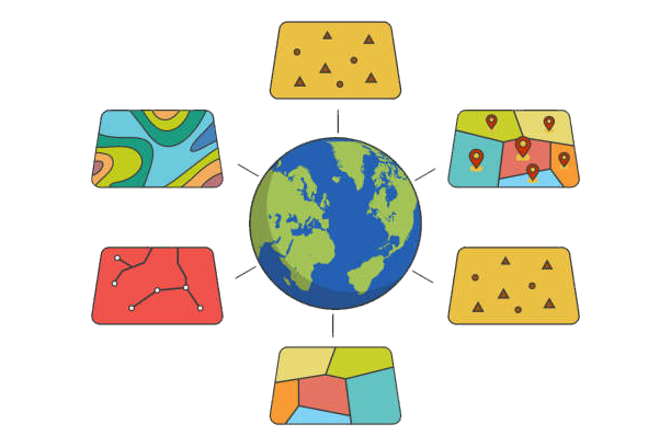
1. 🌟 Introduction to ArcGIS
ArcGIS is the industry-leading GIS platform used across:
- 🏙️ Urban planning departments
- 🌳 Environmental agencies
- 🏥 Healthcare organizations
- 🚛 Logistics companies
Key Benefits of Learning ArcGIS:
- 87% of GIS jobs require ArcGIS proficiency (Burning Glass 2023)
- $15-25K salary premium for certified professionals
- Ability to solve complex spatial problems
“GIS is becoming as essential as spreadsheets in the modern workplace” – Jack Dangermond, Esri Founder
2. 🚀 Getting Started with ArcGIS
System Requirements
| Component | Minimum | Recommended |
|---|---|---|
| RAM | 8GB | 16GB+ |
| Processor | Quad-core | Hexa-core |
| GPU | Integrated | Dedicated (4GB+) |
Installation Process
- Download from Esri’s website
- Authenticate with organizational license
- Install Python dependencies
- Configure initial settings
First-Time Setup Check:
import arcpy
print(arcpy.ProductInfo())  # Should return 'ArcGISPro'
3. 📚 Core ArcGIS Concepts
Spatial Data Fundamentals
- Vector Data: Points, lines, polygons
- Raster Data: Grid cells for continuous phenomena
- Topology: Spatial relationships and rules
Coordinate Reference Systems
# Check and project coordinate systems
desc = arcpy.Describe("input.shp")
print(desc.spatialReference.name)
arcpy.Project_management("input.shp", "output.shp", arcpy.SpatialReference(4326))
4. 👶 Beginner ArcGIS Projects
Creating Your First Map
- Add basemap
- Import shapefiles/feature classes
- Apply symbology
- Create layout with essential elements
Common Beginner Mistakes:
- ❌ Ignoring metadata standards
- ❌ Using inappropriate color schemes
- ❌ Forgetting to set map scale
5. 📊 Intermediate Techniques
Spatial Analysis Workflow
- Data preparation
- Geoprocessing
- Validation
- Visualization
Example: Retail Site Selection
# Weighted overlay analysis
arcpy.WeightedOverlay_analysis("suitability_raster", "output.tif", "RECLASSIFY")
6. 🧠 Advanced Applications
Python Automation
# Batch process feature classes
import arcpy, os
arcpy.env.workspace = "C:/Data"
for fc in arcpy.ListFeatureClasses():
    arcpy.Buffer_analysis(fc, f"buffers/{fc}_buffer.shp", "100 METERS")
3D Visualization
- TIN surfaces
- Extruded buildings
- Fly-through animations
7. 🎯 Specializations
Urban Planning
- Zoning analysis
- Transit network optimization
Environmental Science
- Habitat modeling
- Watershed analysis
Public Health
- Disease cluster detection
- Healthcare accessibility
8. ⚠️ Troubleshooting
Common Errors
| Error | Solution |
|---|---|
| “Invalid Topology” | Run Repair Geometry |
| “Missing Projection” | Define Projection |
| “Out of Memory” | Process smaller chunks |
9. 💼 Career Development
Top GIS Certifications
- Esri Technical Certifications
- GISP Certification
- ASPRS Certification
Salary Benchmarks
- Entry-level: $50-65K
- Mid-career: $75-95K
- Senior-level: $100K+
10. 📚 Resources
Learning Platforms
Communities
- GIS StackExchange
- r/gis on Reddit
11. 🆘 Professional Support
Our services include:
- Assignment completion
- Concept tutoring
- Code debugging
Contact our experts for personalized help!
12. 🎓 Conclusion
This guide has covered:
- Foundational concepts
- Practical workflows
- Career advancement strategies
Next Steps:
- Practice with real datasets
- Build a project portfolio
- Pursue certifications
