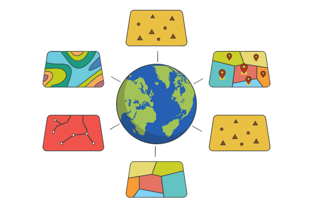
Geoprocessing is the backbone of ArcGIS, enabling critical spatial data transformations like buffering, clipping, and overlays. However, students often struggle with geoprocessing assignments due to tool complexity, error sensitivity, and time-consuming debugging.
If you need geoprocessing homework help, this guide provides 7 expert-backed strategies to simplify your tasks. At ArcGISAssignmentHelp.com, we specialize in helping students conquer geoprocessing challenges and achieve top grades.
Why Students Need Geoprocessing Homework Help
Geoprocessing assignments are tricky because of:
🔹 Tool Complexity – Hundreds of tools (Buffer, Clip, Union) with unique parameters.
🔹 Error-Prone Workflows – Small mistakes (e.g., incorrect inputs) break entire processes.
🔹 Cascading Errors – Early mistakes corrupt later analysis stages.
🔹 Time Constraints – Debugging eats into deadlines, causing stress.
💡 Struggling? Our geoprocessing experts provide step-by-step guidance!
7 Expert Tips to Ace Geoprocessing Assignments
1️⃣ Master Key Geoprocessing Tools
Essential Tools: Buffer, Clip, Dissolve, Union, Intersect.
Study ArcGIS Tool Documentation for precise parameter settings.
📌 Pro Tip: Bookmark Esri’s Geoprocessing Tool Reference.
2️⃣ Clean and Prepare Data
Repair geometries (avoid “Invalid Topology” errors).
Standardize projections (all layers must match!).
Check attribute tables for consistency.
🔧 Need data preprocessing help? We fix corrupt datasets!
3️⃣ Automate with ModelBuilder
Chain tools (Buffer → Clip → Dissolve) visually.
Use iterators for batch processing.
Validate models before execution.
🛠 Stuck on a model error? We debug workflows fast!
4️⃣ Configure Geoprocessing Environments
Set workspace, extent, and cell size to avoid mismatches.
Use temporary outputs to save disk space.
⚙ Example: Always define “Extent = Same as Layer X” for alignment.
5️⃣ Test Tools Incrementally
Run one tool at a time to isolate errors.
Test with small datasets before scaling up.
🐞 Debugging tip: Check ArcGIS geoprocessing messages for clues.
6️⃣ Leverage Python (ArcPy) for Advanced Tasks
Automate workflows with arcpy.Buffer_analysis().
Use try-except blocks to handle errors gracefully.
🐍 Need a script? We provide custom ArcPy solutions!
7️⃣ Document Your Workflow
Annotate ModelBuilder diagrams (explain each step).
Write a summary report (tools used, parameters, results).
📝 Bonus: Professors love clear documentation—it boosts grades!
Example: Flood Risk Analysis Workflow
1️⃣ Buffer rivers by 100m (potential flood zones).
2️⃣ Clip to city boundaries.
3️⃣ Dissolve overlapping zones.
4️⃣ Symbolize risk levels (low/medium/high).
🎯 Need this done? Get Expert Help Now
When to Seek Geoprocessing Homework Help
🚨 Tools failing? → We fix errors in hours.
⏰ Deadline tomorrow? → We deliver polished work fast.
❓ Concept confusion? → We explain with examples.
Why Choose Our Geoprocessing Help?
✔ 24/7 Support – Urgent deadlines? We’ve got you.
✔ PhD-Level Experts – 10+ years of ArcGIS experience.
✔ Error-Free Results – Fully tested workflows.
✔ Plagiarism-Free – Custom solutions only.
📩 Contact us today for guaranteed A+ quality!
Useful Resources
🔗 Official Geoprocessing Tutorials
🔗 ArcPy Automation Guide
🔗 Esri Geoprocessing Forum
